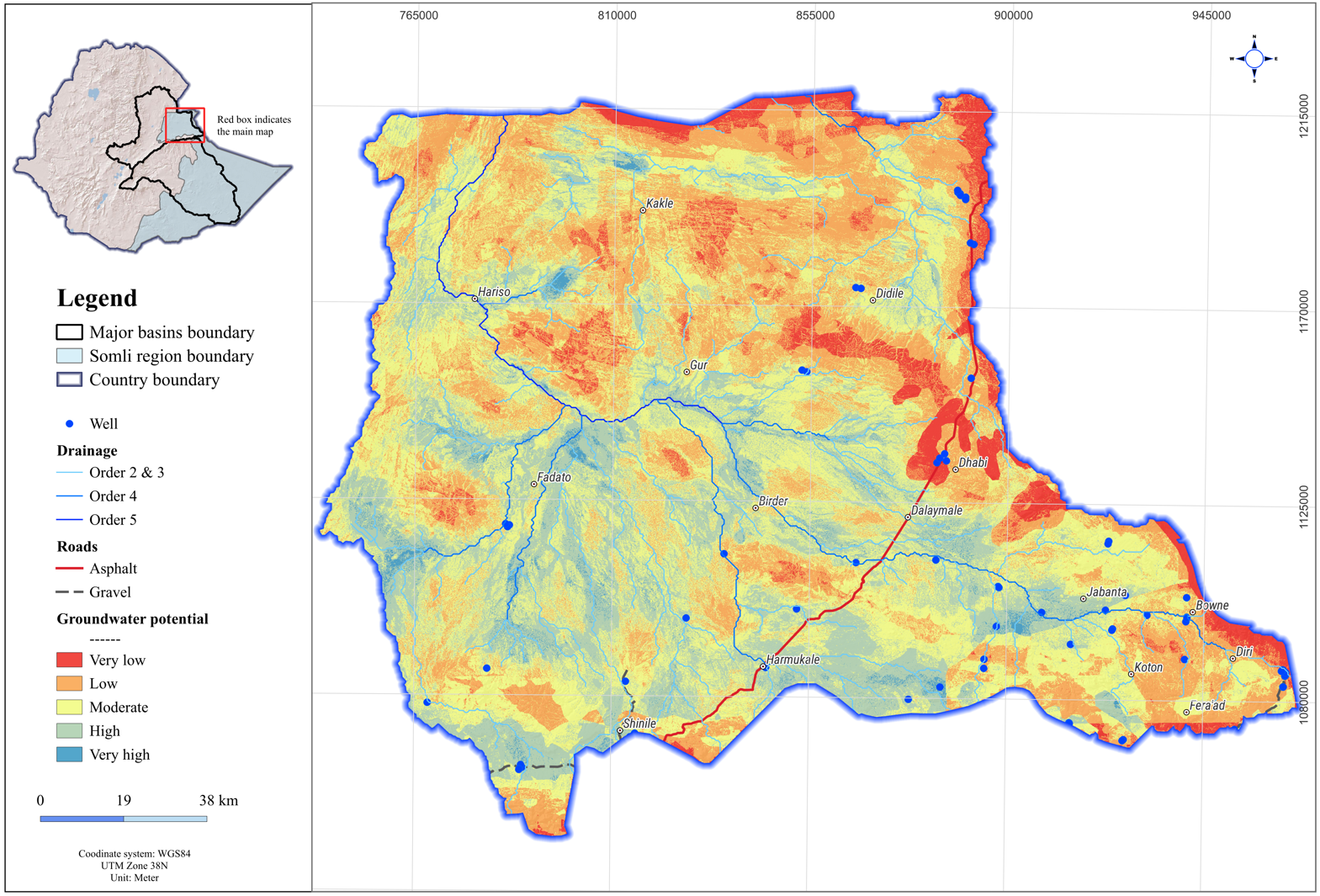
From Data to Water: GIS in Ethiopia’s Groundwater Exploration
Ethiopia faces growing water scarcity and increasing climate variability, making reliable access to groundwater more critical than ever. Traditional field-based groundwater exploration methods are often costly, time-consuming, and logistically challenging, particularly in remote and geologically complex regions. Today, Geographic Information Systems (GIS) and remote sensing are transforming groundwater exploration by providing a scalable, data-driven approach that is already supporting national water resource planning.
Why Groundwater Matters in Ethiopia?
Groundwater plays a critical role in:
- Rural drinking water supply
- Irrigation and food security
- Urban water resilience (e.g., Addis Ababa and secondary cities)
Yet, traditional exploration methods (like field based surveys) are:
- Expensive
- Time-consuming
- Limited in spatial coverage
The Power of GIS & Remote Sensing
GIS and remote sensing integrate satellite data, spatial analysis, and modeling to map groundwater potential across large and complex terrains.
Key Advantages:
- Cost-effective compared to field surveys
- Faster analysis across large regions
- Scalable and repeatable for national planning
- Data-driven decision making
GIS and Remote Sensing in Groundwater Studies
- Remote sensing uses satellite and aerial imagery to capture Earth’s surface features such as geology, land cover, topography, and rainfall without direct physical contact.
- GIS integrates and analyzes spatial data, enabling multiple biophysical factors to be overlaid and interpreted to reveal patterns not visible through traditional methods.
When combined, these technologies allow scientists and practitioners to efficiently identify groundwater potential zones, prioritize exploration areas, and guide sustainable water resource management.
Use cases in Ethiopia
These technologies have been extensively applied across multiple projects:
- 2025: In collaboration with our partner, through the Horn of Africa Groundwater for Resilience Project, led by the Ministry of Water and Energy (MoWE) and funded by the World Bank, we developed Ethiopia’s first-ever national groundwater monitoring network.
- 2025: In collaboration with our partner, under the same MoWE initiatives, we produced groundwater potential maps for key locations including Jerer, Woito, Mirab Abaya, upper Omo and Gimbo Chena.
- 2025: In collaboration with our partner, under Addis Ababa Water and Sewerage Authority (AAWSA) project with support from the World Bank, we developed groundwater potential and vulnerability maps for Addis Ababa and its surrounding areas, providing valuable spatial data for effective resource management in one of Ethiopia’s most water-stressed urban centers.
- 2024: In collaboration with our partner, through UNICEF-funded initiatives across 15 sub-basins in the Awash and Shebelle basins of the Somali Region, we conducted detailed groundwater assessments in one of Ethiopia’s most climate-vulnerable regions.
- 2021: In collaboration with our partner, under MoWE programs funded by the UK DFID (now FCDO), we carried out comprehensive groundwater potential assessments across 26 districts, representing some of the most extensive regional studies conducted in Ethiopia.
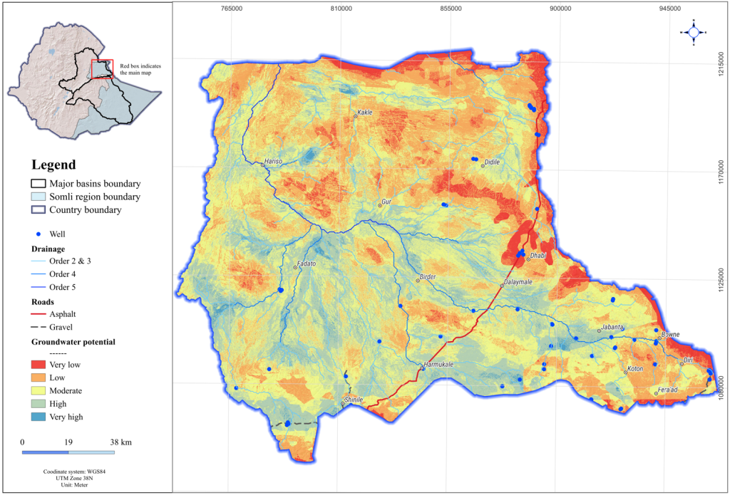
Our Projects: A National Geospatial Effort
These projects collectively represent some of Ethiopia’s largest efforts to map groundwater potential and establish monitoring systems using GIS–remote sensing frameworks. Covering multiple woredas (districts), they provide a unified and large-scale understanding of groundwater resources.
Key highlights include:
- Integrated Approach: Combining remote sensing data, GIS analysis, and multi-criteria decision-making techniques.
- Thematic Mapping: Incorporating critical factors such as geology, hydrogeology, slope, drainage, lineament density, land use, and rainfall.
- Groundwater Potential Zoning: Classification of areas into high, moderate, and low potential to guide exploration and investment.
- Monitoring Suitability Mapping: Identification of areas suitable for groundwater monitoring across Ethiopia, supporting long-term water resource planning.
- Field Validation: Integration of geophysical surveys and borehole data to validate and refine model outputs.
How does GIS and Remote Sensing enhance Groundwater Planning?
These efforts demonstrate that GIS and remote sensing can:
- Enable large-scale assessments across vast and remote regions efficiently
- Integrate diverse datasets for a comprehensive understanding of groundwater systems
- Support evidence-based decision-making using
- Promote sustainable resource management by guiding investments toward high-potential zones
Academic studies in Ethiopia further support this approach. Research shows that GIS–remote sensing models validated against borehole data can achieve prediction accuracies of 70–85%, demonstrating strong reliability for regional groundwater planning (see: Springer article)
Toward a Resilient Groundwater Future
These initiatives highlight the transformative role of geospatial technologies in Ethiopia’s water sector. By producing actionable groundwater maps across dozens of districts, they enable decision-makers to allocate resources efficiently, prioritize development, and improve water security for millions.
As datasets expand and technologies evolve, GIS and remote sensing will remain central to sustainable groundwater management. With the integration of cloud-based platforms like Google Earth Engine (GEE) and advances in predictive AI, groundwater modeling is becoming increasingly precise, paving the way for a more resilient and water-secure future for Ethiopia.
Further reading

Excellent article. “From data to Water” captures it well. I have used Remote sensing and AI in the Upper Awash River Basin, and your GIS based groundwater approach is clearly valuable for data scarce regions.
Thank you Micky
If you are interested in developing a short article, you are most welcome to share it here.